Who developed this GSSA Google Earth Cemetery Initiative?

DSC03198
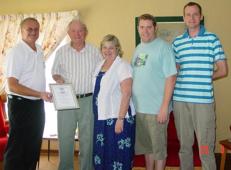
The Moss family being presented with the GSSA Extra Mile Award for development of the GSSA Google Earth Cemetery Initiative.
Cemetery location information in GPS form was collected from the numerous volunteers who over the years provided information to the Cemetery Recording Project and the Photo Project. This information is collated in the master Cemetery Index by Peter and Beverley Moss.
Their sons Stewart and Adrian, who spent many happy hours of their childhood sitting in hot cars while Peter & Beverley recorded yet another cemetery of interest, provided the impetus and technical expertise for the initiative:
  • Stewart conceived the initial idea and undertook the software development so that Google Earth could read and display the Cemetery Index data.
  • Adrian designed and built the initial Google Earth Cemetery Initiative web page.
We thank them most sincerely for their time and effort, without which this initiative would never have got off the ground.
In the photo left to right: Hendrik Louw, President of the GSSA, presenting the Extra Mile Award to the Moss family (Peter, Beverley, Adrian and Stewart) - March 2011.

50K Cemetery Search

In a further initiative, towards the end of 2020, the 1:50 000 topographical maps of SA showing thousands of cemeteries, marked as “+”, were unlocked:
Peter Silbernagl
Walter Smit
Peter Silbernagl
Walter Smit
Walter Smit, at the suggestion of Peter Silbernagl, created a KMZ file of these points, also indexed by location and farm name. This KMZ file can be read using Google Earth, and clicking on the “+” mark opens a dialog box that gives farm name, GPS coordinates, etc.
The “+” marks represented by the existing cemeteries already recorded by the Cemetery Records Project have been deleted from this file. Thus, when loaded into Google Earth the new image shows some 13 000 previously unknown cemetery locations, which is ideal for planning cemetery recording.