GSSA HEADER ENG

How to view the GSSA Cemeteries on Google Earth

barbertonview-headerHow to access the GSSA Cemetery Initiative using Google Earth
Download the  Google Earth software free from http://www.google.com/earth/
and click here to download the .kmz file to view the map of GSSA cemeteries on Google Earth.
 
What does the map show?
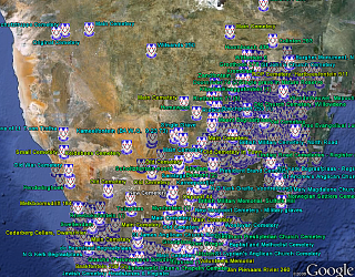
The GSSA Google Earth Map opens with a high level view of Southern Africa showing all the GSSA cemetery locations with a GSSA icon. The standard features of Google Earth can be used to zoom in or out, rotate the image, or Fly to various Placemarks or coordinates. Places of interest shown in the default Google Earth maps also assist with navigation.
BasicGEShot-Small
Cemetery Name
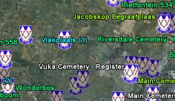
The cemetery name will appear next to the GSSA logo.
By zooming down in the general area of interest, the icons separate and the Cemetery Name pops up. Where there are multiple cemeteries on one farm, the distinguishing number 1, 2, etc also appears as example below.


Harbeeshoek4-web
Colour Codes of the Cemetery Names
The colour codes used for the Cemetery Name text are as follows:
 
Processed and Published on DVD and Photo:
Bright Blue
MultiColours
Processed and Published on DVD only:
Bright Green
Published in Photo album only:
Yellow Green
Not yet processed:
White
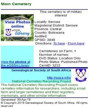
The Popup WindowMain Cemetery
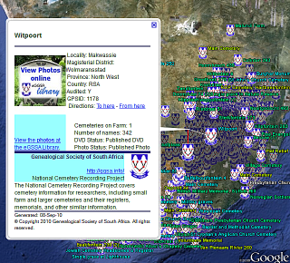
Clicking on the GSSA icon loads a popup window with the following information:
  • Cemetery title information: (Farm Name, Locality, Magisterial District, Province, Country)
  • Recording Status (ranging from Published on DVD & Photo's to "Not yet Processed")
  • Number of names in Cemetery (on DVD)
  • Military interest marker
  • Click on "View Photos Online" to view the Photo Album run by the eGSSA (if photos of this cemetery are available)
How do I find a Cemetery in which I am interested?
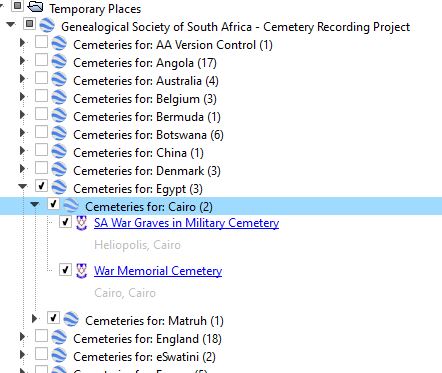
Side bar menu extractFeatures presently available are:
  • The standard place list shown in Google Earth page under your "Places" sidebar. It shows the GSSA cemeteries arranged by Country and Province, and can be searched for names of interest. A sub-header gives more information about the cemetery locality. A single click loads a popup box with the cemetery info.
  • For further assistance with cemetery names and cemetery recording status, refer to the Excel files on the main Cemetery Updates and Reports page.
These files are updated monthly.
  • Hits: 24878

Explore and Tour with Google Earth

Here are some interesting places you can visit using Google Earth and in Real Life.
 Western Cape, Agulhas, Lighthouse
Eastern Cape, Hankey, Sarah Bartman

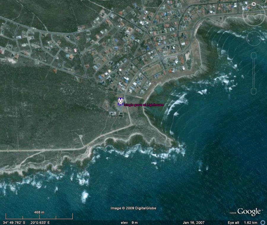
Grave at Cape Agulhas

The southernmost grave in Africa! A view of Cape Agulhas Lighthouse, with the single grave: " Daisy Rowe.  Died 28.01.1899 of diphtheria aged 7 months. Daughter of A Rowe, Lighthouse Keeper at Cape Agulhas 1899 - 1901."
View this album on eGGSA

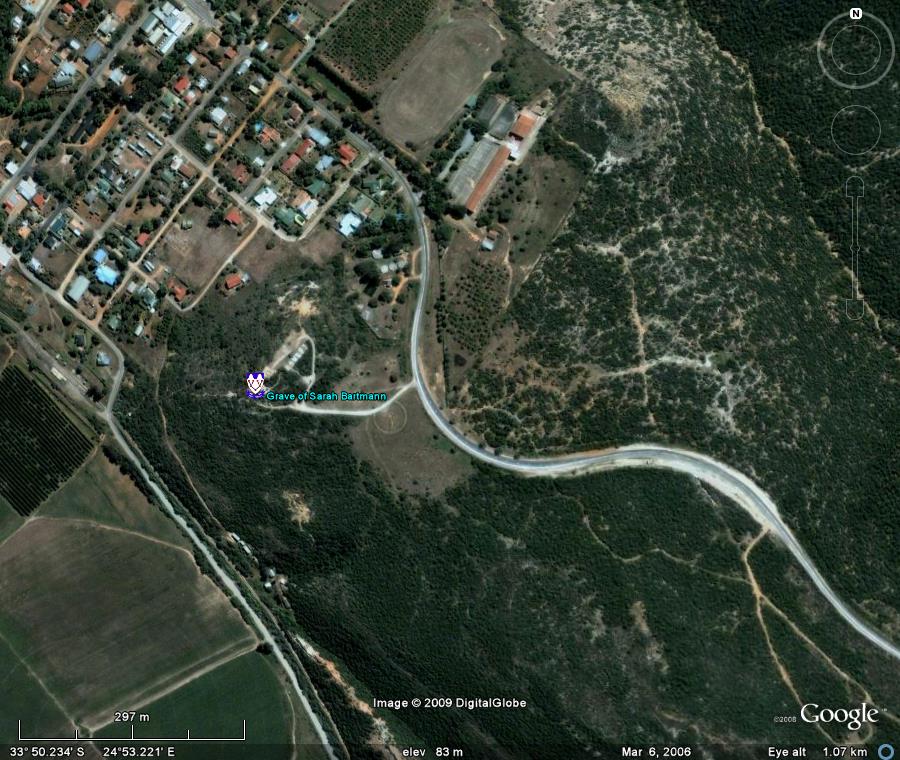
Grave of Sarah Bartmann

It is fitting that Sarah has been laid to rest in this area near her birthplace where her soul will at last find peace among the hills and tranquil surroundingsof the Gamtoos Valley".
View this album on eGGSA
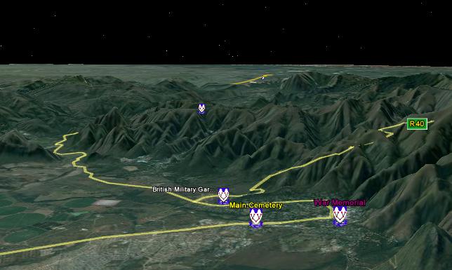
Barberton
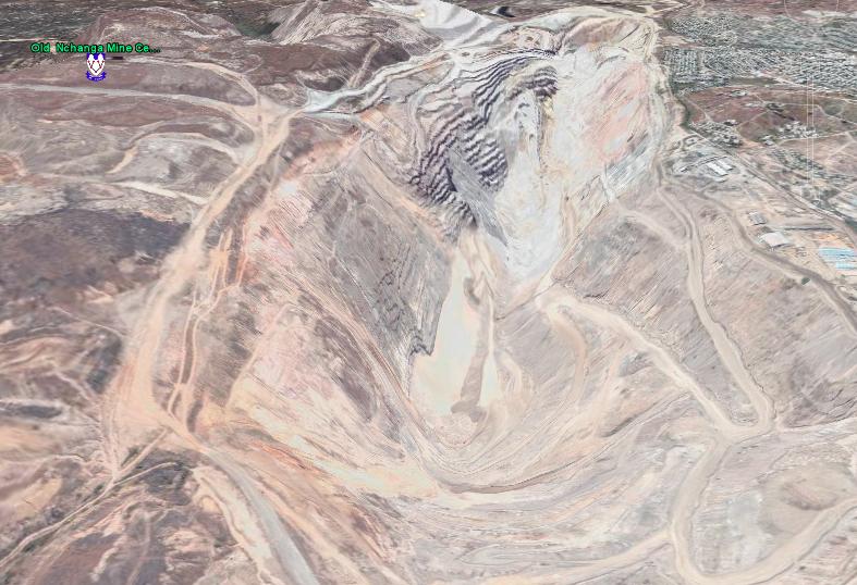
The Old Nchanga Mine Cemetery in Zambia
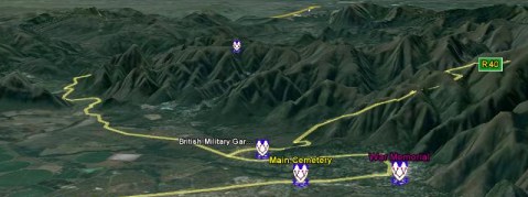
barbertonviewNote Fairview Cemetery on top of the mountain.
nchangaNow buried under the waste dumps of the Open Pit
  • Hits: 20495

How can I make comments or corrections?

Crystal_Clear_app_emailFor queries please email This email address is being protected from spambots. You need JavaScript enabled to view it.


  • Hits: 18516

How accurate is the information and how frequently is it updated?

Crystal_Clear_app_calcEvery effort is made to ensure that the information is as accurate as possible but inaccuracies do arise, mainly due to the following:
Locations derived from the 1:50000 maps have the double disadvantage of being scaled and read off the paper map, and also the coordinates are Cape System and not the worldwide WGS84 used by Google Earth and GPS receivers. We are correcting these coordinates as time permits.
Use of incorrect GPS datum by recorders.
The chance of inaccuracies during the coordinate recording and data processing stages.
Some areas of the Google Earth maps are “fuzzy”, so accurate cemetery locations cannot be obtained and approximations are used.
As far as possible, we note the accuracy level of the coordinates and audit the locations shown for correctness.
The data is updated at the end of each month so keep an eye out for new revisions.
  • Hits: 14578