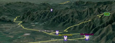
 How to access the GSSA Cemetery Initiative using Google Earth
Download the Google Earth software free from http://www.google.com/earth/
and click here to download the .kmz file to view the map of GSSA cemeteries on Google Earth.
What does the map show?
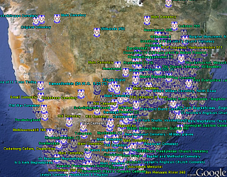
The GSSA Google Earth Map opens with a high level view of Southern Africa showing all the GSSA cemetery locations with a GSSA icon. The standard features of Google Earth can be used to zoom in or out, rotate the image, or Fly to various Placemarks or coordinates. Places of interest shown in the default Google Earth maps also assist with navigation.
Cemetery Name
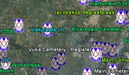
The cemetery name will appear next to the GSSA logo.
By zooming down in the general area of interest, the icons separate and the Cemetery Name pops up. Where there are multiple cemeteries on one farm, the distinguishing number 1, 2, etc also appears as example below.

Colour Codes of the Cemetery Names
The colour codes used for the Cemetery Name text are as follows:
Processed and Published on DVD and Photo:
|
Bright Blue
|
|
Processed and Published on DVD only:
|
Bright Green
|
Published in Photo album only:
|
Yellow Green
|
Not yet processed:
|
White
|
The Popup Window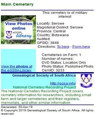
Clicking on the GSSA icon loads a popup window with the following information:
-
Cemetery title information: (Farm Name, Locality, Magisterial District, Province, Country)
-
Recording Status (ranging from Published on DVD & Photo's to "Not yet Processed")
-
Number of names in Cemetery (on DVD)
-
Military interest marker
-
Click on "View Photos Online" to view the Photo Album run by the eGSSA (if photos of this cemetery are available)
How do I find a Cemetery in which I am interested?
|
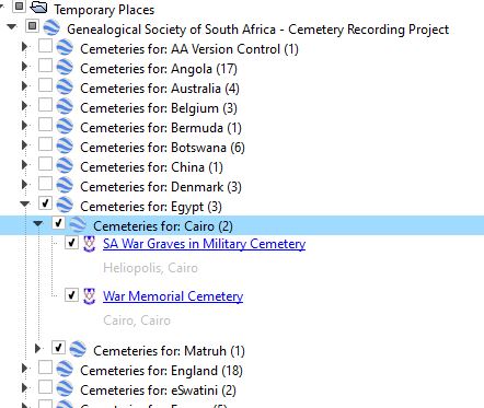 Features presently available are: Features presently available are:
-
The standard place list shown in Google Earth page under your "Places" sidebar. It shows the GSSA cemeteries arranged by Country and Province, and can be searched for names of interest. A sub-header gives more information about the cemetery locality. A single click loads a popup box with the cemetery info.
-
For further assistance with cemetery names and cemetery recording status, refer to the Excel files on the main Cemetery Updates and Reports page.
These files are updated monthly.
|
 How to access the GSSA Cemetery Initiative using Google Earth


 Features presently available are: