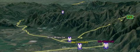
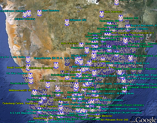
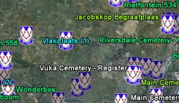
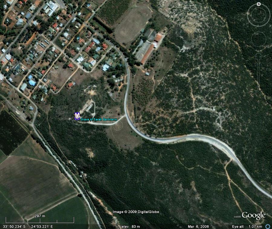
Welcome to the GSSA Google Earth Cemetery Initiative
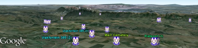
File last updated on 31 May 2022 with 6496 cemetery locations and 5685 links to eGSSA Albums.
Download the Google Earth file (KMZ FILE)

Table of Contents:
- How to view the GSSA Cemeteries on Google Earth
- How accurate is the information and how frequently is it updated?
- How can I make comments or corrections?
- Explore and Tour with Google Earth
- Who developed this GSSA Google Earth Cemetery Initiative?
- Hits: 13225
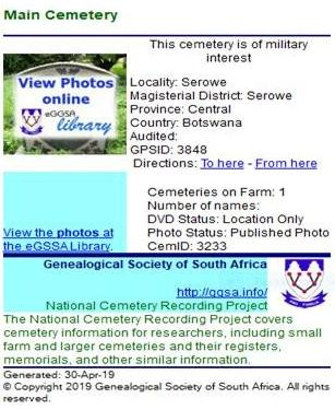
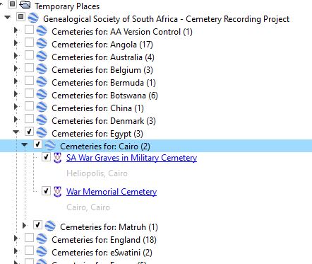 Features presently available are:
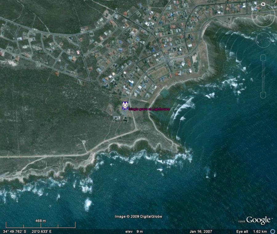

 For queries please email